A route picture is a beginning, not the whole plan. Use these questions to understand what would need confirmation before a real day out.
Know the terrain.
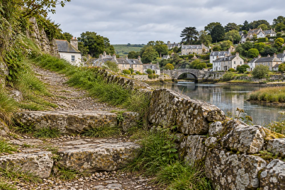
Quay & Quarter shows stone paving and a bridge crossing. Waterline Notes adds gravel and the water edge. Harbor & Height adds short steps and an uphill section.
Ask a real operator for verified gradients, surfaces, steps, rest points and access alternatives relevant to your requirements.
Agree the meeting point.
Request a named starting place, accurate directions, the expected arrival window and a contact method. Do not use this website’s schematic as navigation.
Clarify the conditions.
Discuss weather, route changes, cancellations, clothing and equipment with the actual provider. The sample outing window is not a verified walking or travel time.
Understand the price.
The fixed example includes a fictional guided outing only. Food, travel and equipment are excluded. No payment or real booking takes place here.
A separately directed terrain photograph. It illustrates surfaces; it does not certify access or safety.
Ready to compare the examples?
Keep the duration and ground notes in view as you choose a sample tour.